Trailmaps Highland Perthshire Map
The Highland Perthshire map covers the mountain and gravel bike trails of Highland Perthshire. The map extends from Dunkeld in the south to Bruar and the Atholl Estates in the north and from Glenshee and Blairgowrie in the east to Kenmore and Tummel Bridge in the west. Over 1800 sq km of Highland terrain criss-crossed by miles of high quality tracks suitable for mountain and gravel biking.
The map is printed on waterproof paper at a size of 62 x 32 cm and folded into a compact size of 18 x 8 cm. Most importantly it shows and grades all the known cycling trails and they are clearly annotated with hazards such as locked gates.
* Trails graded for MTB & gravel bikes
* 4 grades of single and double track
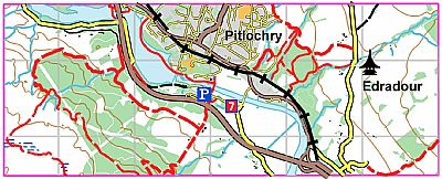
* Pitlochry, Killiecrankie & Faskally
* Loch Bhac & The Queen’s View, Atholl Estates & Bruar
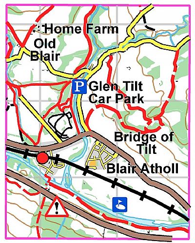
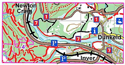
* Glen Tilt, Dunkeld, Birnam & Loch Ordie.
* Cateran Trail and Sustrans Route 7, 77 & 83
Pitlochry has some of the best untapped MTB terrain in Scotland with some great rides on single track climbing to viewpoints high above the town. Glen Fincastle and Loch Bhac is a classic MTB ride that includes one of the best and longest single track descents in the area. The views are stunning and there are refreshments available at the cafés and inns marked on the map.

The Atholl Estates, north of Blair Atholl, has some of the best high level trails in Scotland. The trails are generally well graded estate tracks that penetrate deep into the glens and climb high into the hills of the Atholl Estates and to the picturesque and remote Falls of Tarf. With a backdrop of stunning mountains and Munros this is a great area for both gravel and mountain biking.

The terrain around the twin towns of Dunkeld and Birnam is ideal for biking. The map shows a detailed path network and some terrific well graded tracks and awesome technical downhill. With great views of the Tay Valley this is Highland Perthshire at its picture-postcard best.

ISBN 978-1-906184-40-7

